WatchSat › Blog › What are the types of orbits? LEO, MEO, GEO and HEO
What are the types of orbits? LEO, MEO, GEO and HEO
The main types of orbits are LEO, MEO, GEO and HEO. Of 16,701 objects on CelesTrak's active list on October 11, 2026, 95 percent were in low Earth orbit.
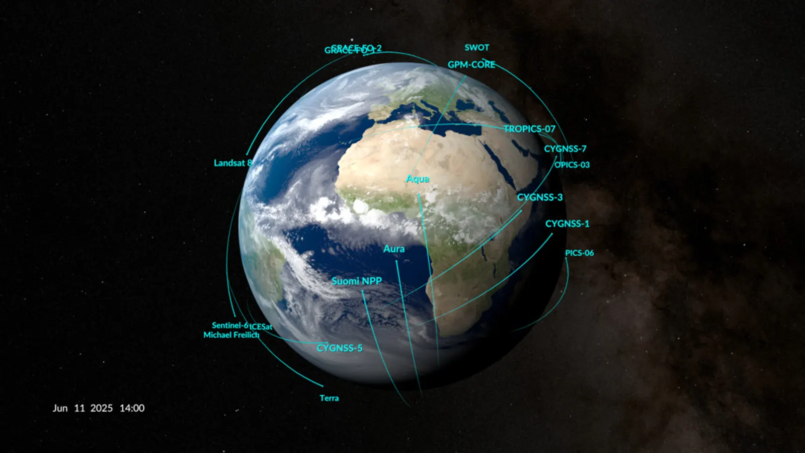
The four main types of orbits around Earth are low Earth orbit (LEO), medium Earth orbit (MEO), geostationary orbit (GEO) and highly elliptical orbit (HEO). LEO reaches up to 2,000 km, and MEO runs from there to 35,786 km. GEO is a single ring at that height over the equator, while an HEO swings from low to very high on every lap. Almost everything flies low. In our October 11 snapshot of CelesTrak's active-satellite list, 15,887 of the 16,701 objects, or 95.1 percent, were in LEO.
Different jobs call for different heights. NASA's Earth Observatory puts most science satellites in low orbit, navigation satellites in medium orbit and many weather satellites higher up.
How high are low Earth orbit, MEO and GEO?
NASA defines low Earth orbit as any orbit around Earth with an altitude of 1,200 miles (2,000 km) or less. ESA's guide to orbit types uses the same ceiling. It puts the floor at the lowest height where a spacecraft can stay in orbit, at least 160 km. The Inter-Agency Space Debris Coordination Committee (IADC) draws the same line. Its debris guidelines, first issued in 2002, protect the whole region from the surface up to 2,000 km.
A NASA handbook on avoiding collisions uses a different test, chosen to match US Space Command's. It counts an orbit as LEO if a lap takes under 225 minutes and its eccentricity stays below 0.25. Eccentricity measures how stretched an orbit is, from zero for a perfect circle to nearly one for a long, thin oval. By our arithmetic, the handbook's rule admits circular orbits up to 5,876 km. The laser-ranging sphere LAGEOS 2, at 5,784 km, is LEO under that rule and MEO by altitude.
ESA puts medium Earth orbit between 2,000 and 35,786 km and says it's commonly used for navigation satellites such as GPS. We measure every altitude above Earth's equatorial radius of 6,378 km, as CelesTrak's catalog and most NASA figures do. On that basis, the four global navigation systems in our snapshot have median altitudes from 19,130 km for Russia's GLONASS to 23,222 km for Europe's Galileo, with GPS at 20,182 km and China's BeiDou at 21,528 km. Our GPS explainer compares the systems, and the navigation satellites page shows them moving.
Geostationary orbit is a circle 35,786 km above the equator. A satellite there completes a lap in the time Earth takes to spin once against the stars, 23 hours 56 minutes, so from the ground it seems to hang still. A geosynchronous orbit only has to match that period. It can be tilted, which makes its satellite wander north and south each day. Geostationary is the special case, circular and flat over the equator. The IADC protects a band 200 km above and below the ring, within 15 degrees of the equator. Our geostationary orbit explainer covers the ring in depth.
Other orbit names describe tilt or purpose. Polar orbits pass roughly over both poles, and ESA still counts one that strays 20 to 30 degrees from a pole-to-pole path. In ESA's guide, a sun-synchronous orbit is typically 600 to 800 km up. It's a polar orbit timed so the satellite passes over any given place at the same local time, as our sun-synchronous orbit explainer describes. A geostationary transfer orbit (GTO) is a stretched path that ESA says climbs to about 36,000 km, where a motor burn turns it into GEO. Our October 11 snapshot has no object in a classic GTO.
Height trades signal delay against reach. By our arithmetic, a signal from a satellite straight overhead at 480 km, close to where SpaceX is moving its Starlinks, arrives in 1.6 milliseconds, against 119.4 ms from GEO. A satellite at 480 km sees only 3.5 percent of Earth's surface, though, while one in GEO sees 42.4 percent. So three geostationary satellites can cover all but the polar caps, while a low-orbit network needs far more to see the whole planet at once. Lower satellites also move faster, 7.66 km/s for the ISS against 3.07 km/s in GEO, as our piece on how satellites stay in orbit sets out.
What is a highly elliptical orbit, and why does Russia use it?
A highly elliptical orbit is a long oval. Its lowest point, the perigee, sits far below its highest, the apogee. There's no agreed altitude range for HEO, so WatchSat's rule goes by shape and calls an orbit HEO when its eccentricity is 0.25 or more. The 45 objects in our snapshot that qualify have a median perigee of 1,822 km and a median apogee of 43,974 km.
The best-known HEO is the Molniya orbit. NASA's Earth Observatory gives it an inclination, or tilt against the equator, of 63.4 degrees, an eccentricity of 0.722 and a 12-hour period. By our arithmetic, such a satellite dips to about 1,000 km and climbs to about 39,360 km. It races through the low point at about 9.6 km/s and slows to 1.6 km/s at the top, so it spends about 8.8 hours of each 12-hour lap above 20,000 km.
The Soviet Union launched Molniya 1-1 on April 23, 1965. Near apogee, according to NASA's spacecraft catalog, it hung almost still over one region for about 8 of every 12 hours. Its two daily high points fell over Russia and North America.
Geography explains why Russia flies these orbits. A geostationary satellite stays over the equator, so from the far north it's low in the sky. By our arithmetic, even when it's due south, one stands just 26.5 degrees above the horizon in Moscow, 12.5 in Murmansk and 9.8 in Tiksi, at 71.6 degrees north. A Molniya satellite's apogee sits over about 63 degrees north, so it spends its slow hours high over the same regions. An ESA conference paper on these orbits says three such satellites are in principle enough to cover Russia day and night.
The 63.4-degree tilt is what keeps that apogee in the north. Earth's equatorial bulge slowly turns most stretched orbits within their own plane, shifting the low and high points around. Orbital elements track the shift through the argument of perigee, the angle that fixes where the low point sits. At a tilt of 63.4 degrees, known as the critical inclination, the angle stops changing. Above that tilt, the ESA paper says, it drifts steadily downward, and below it the drift reverses.
Our snapshots show the effect. The October 11 list holds 15 satellites in Molniya-type orbits. Eleven are Russian, such as Meridian 8, and four are Chinese. We compared the argument of perigee for the 13 that also appear in our September 15 snapshot on standard Molniya orbits. In 11 of them it moved 0.11 degrees or less, and in none more than 0.44. Stretched orbits at other tilts turned far more. THEMIS E, tilted 7 degrees, swung 5.3 degrees, and AO-10, at 26 degrees, swung 7.7. The Molniya-type satellite that moved most, Meridian 9, is tilted 65.5 degrees, a little above the critical inclination, and its argument of perigee fell, as the ESA paper describes.
Every active satellite by orbit type
We sorted all 16,701 objects in our October 11 snapshot of CelesTrak's active list, which feeds our live satellite map and satellite directory, using the rules behind each satellite's WatchSat page. Some rules go by mean altitude, the average height over one lap, and others by the orbit's period, tilt or shape. The list counts objects not known to be dead, so it includes a few rocket bodies and passive spheres. Our guide to satellite counts explains where such numbers come from.
| Orbit type (WatchSat's rule) | Objects | Share |
|---|---|---|
| LEO, mean altitude below 2,000 km | 15,887 | 95.1% |
| GEO, one lap in 1,300 to 1,500 minutes, tilted under 20° | 565 | 3.4% |
| MEO, 2,000 to 35,000 km | 181 | 1.1% |
| HEO, eccentricity 0.25 or more | 45 | 0.27% |
| Inclined geosynchronous, same period, tilted 20° or more | 22 | 0.13% |
| Above GEO | 1 | 0.01% |
| Total | 16,701 | 100% |
The geostationary count depends on the filter. The table uses our map's rule, which treats any orbit lasting 1,300 to 1,500 minutes as geosynchronous and counts it as GEO when it's tilted less than 20 degrees.
Navigation satellites dominate medium orbit. Of the 181 objects in MEO, 134 belong to the four global navigation systems, and 30 are O3b satellites in circular orbits with a median altitude of 8,066 km. Below the navigation satellites the band is nearly empty. Only 49 objects, 0.29 percent of the list, have a mean altitude between 2,000 and 19,000 km, and the O3b satellites are most of them. Our Van Allen belts explainer looks into that gap.
Low Earth orbit is crowded mostly at one height. The median LEO object is 477 km up, and the band from 450 to 500 km holds 10,157 objects, 60.8 percent of the entire list. Of those, 9,536 are Starlink satellites, whose median altitude is about 466 km. Below that band, 1,486 objects fly under 450 km, among them the International Space Station at about 420 km. Very low Earth orbit has no agreed edge, but a 2020 review put it below roughly 450 to 500 km.
SpaceX has been moving its fleet down. In early January 2026, SpaceX's Michael Nicolls said about 4,400 Starlinks at around 550 km would drop to about 480 km during the year, Reuters reported. He cited less debris below 500 km. He also said a dead satellite at the lower height would take more than 80 percent less time to fall out of orbit at solar minimum, when the Sun is quietest. Between our September 27 and October 11 snapshots, the 450 to 500 km band gained 258 objects while the Starlink count held at about 11,130.
SpaceX's space-safety site says the company is lowering all its satellites below 500 km and plans to finish by the end of 2026. Our October 11 snapshot still has 503 Starlinks between 500 and 600 km. If the plan holds, most should end up in the busiest band, and its share of the list will grow.
Sources
- NASA, Commercial Space Frequently Asked Questions, undated
- ESA, Types of orbits, undated
- NASA Earth Observatory, Catalog of Earth Satellite Orbits, undated
- NASA, Spacecraft Conjunction Assessment and Collision Avoidance Best Practices Handbook, Volume 2, revision 2, 2026
- ESA Space Debris Conference proceedings, The "IADC Space Debris Mitigation Guidelines" (IADC protected regions)
- ESA Space Debris Conference proceedings, Orbit evolution and uncontrolled re-entry of the "Molniya" type satellites
- NASA Space Science Data Coordinated Archive, Molniya 1, launched April 23, 1965
- Reuters, via TimesLIVE, Starlink to lower satellite orbit to enhance safety, January 2, 2026
- SpaceX, Constellation altitudes, undated
- arXiv, review of very low Earth orbit for Earth observation, 2020
- CelesTrak, active satellites element sets, WatchSat snapshots of September 15 to October 11, 2026
Follow by RSS. Share this post: Bluesky · X · Reddit · Email
More from the blog
-
How many rocket launches in 2026? The count so far
Rocket launches in 2026 reached about 240 orbital attempts by mid-October, one every 28.5 hours. How it compares with 2025's record and what the catalog shows.

-
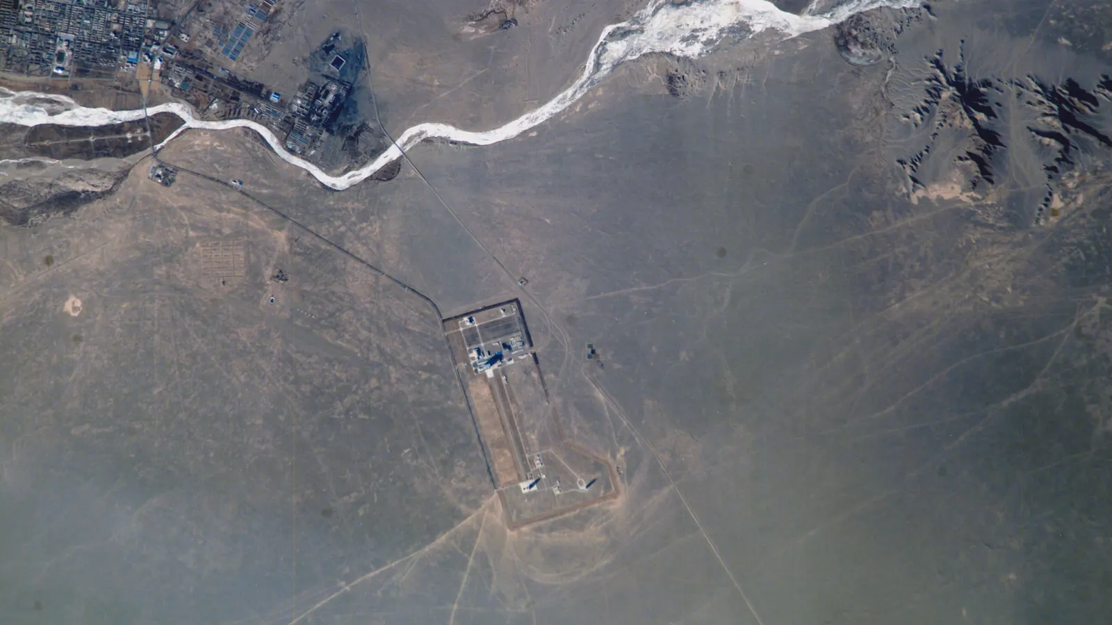
Where is China's Tiangong space station? Orbit and crew
China's Tiangong space station orbits about 386 km up on a 41.5° tilt, so it stays between 41.5° N and S. Who's aboard, its size, and where you can see it.
-
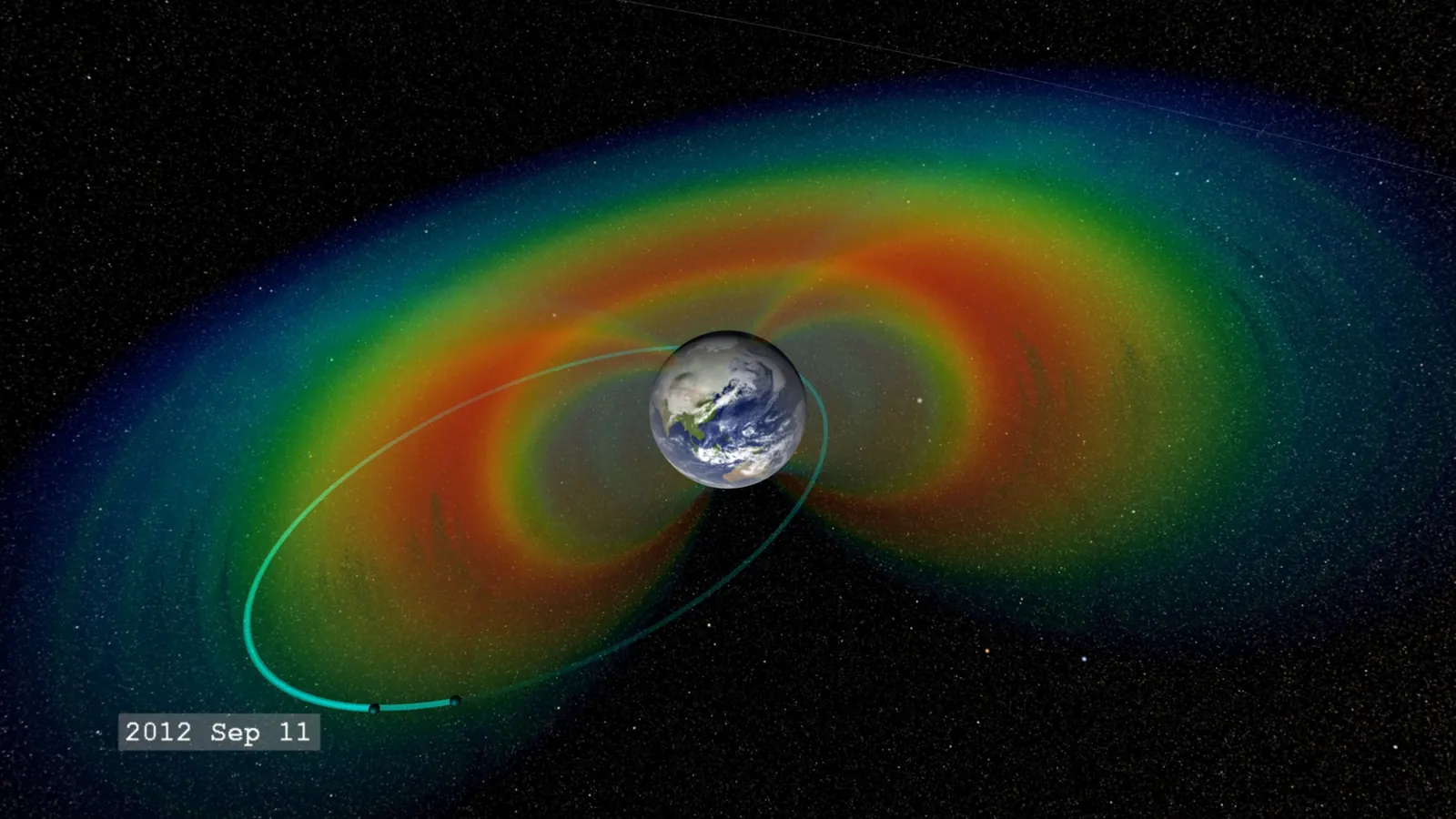
What are the Van Allen belts? Altitude, risks and satellites
The Van Allen belts are two zones of trapped particles, about 1,600 to 40,200 km up by NASA figures. Of 16,701 active satellites, 95% stay below 2,000 km.
-
How do weather satellites work? Orbits, sensors and data
How weather satellites work: geostationary imagers 35,786 km up scan a full disc every 10 minutes, and low orbiters supply over 80% of forecast model data.

-
What is a geostationary orbit? Height, speed and delay
A geostationary orbit is a circle 35,786 km above the equator where a satellite keeps pace with Earth's spin and seems to hang still. We counted 573 there.

Home · Live satellite map · Satellite directory · Starlink · OneWeb · Navigation satellites · Space stations · Other active satellites · Track the ISS · ISS visible passes · Starlink train · Rocket launches · Aurora forecast · Humans in space · Solar System · Deep Space · Embed widgets · Blog · Guide: spot the ISS · Guide: what is a TLE? · Guide: how many satellites? · Guide: satellite trackers compared · Discovery: Elias 2-24 b · About · FAQ · Data & methodology · Credits · Editorial policy · Accessibility · Contact · Privacy · Terms
© 2026 WatchSat · Not affiliated with any space agency or satellite operator.