WatchSat › Blog › What is a geostationary orbit? Height, speed and delay
What is a geostationary orbit? Height, speed and delay
A geostationary orbit is a circle 35,786 km above the equator where a satellite keeps pace with Earth's spin and seems to hang still. We counted 573 there.
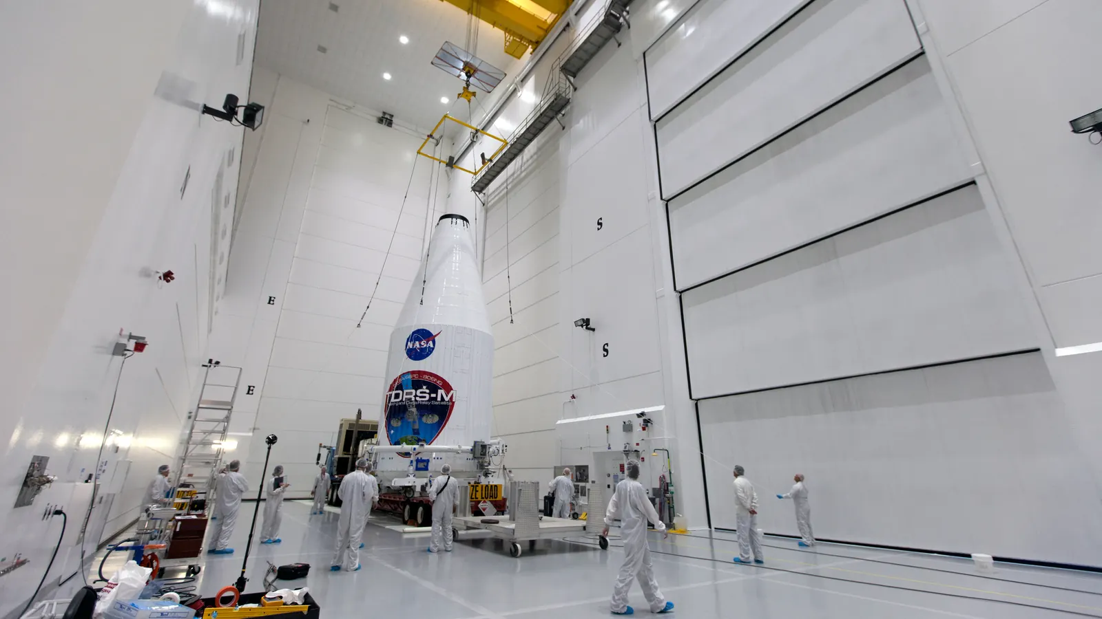
A geostationary orbit is a circular path 35,786 km (22,236 miles) above the equator, where a satellite completes one lap in exactly the time Earth takes to spin once on its axis. From the ground, a satellite there hangs at one point in the sky day and night. A weather satellite can keep the same 42 percent of the planet in view without a break, and a satellite TV dish pointed at it never has to move.
NOAA's GOES-19 is one such weather satellite. It became the operational GOES-East satellite on April 7, 2025, tracking Atlantic hurricanes and severe weather over the US from 75.2 degrees west. In WatchSat's catalog snapshot of October 8, 2026, GOES-19's orbital elements put it over 75.19 degrees west, tilted 0.04 degrees from the equator, matching NOAA's slot. On our globe, GOES-19's live position barely moves.
How high is a geostationary orbit?
The height comes from Kepler's third law, which ties the time an orbit takes to its size. For one lap per turn of the Earth, the orbit's radius, measured from Earth's centre, has to be 42,164 km, which is the figure NASA's Earth Observatory gives. Take away Earth's equatorial radius of 6,378 km (the convention CelesTrak's catalog and most NASA figures use for heights) and you're left with 35,786 km above the surface, the altitude NASA's Earthdata site lists.
The period that has to match is 23 hours 56 minutes 4 seconds, which ESA gives as the length of one geostationary orbit. It's how long Earth takes to turn once relative to the stars, a few minutes short of the 24-hour solar day. A satellite timed to 24 hours would have to fly 77 km higher, and it would fall behind the ground by about a degree every day.
Up there a satellite moves at about 3.07 km per second, roughly 11,000 km/h, around a ring 264,925 km long. It stays over one spot only because the ground turns at the same rate beneath it. The orbit also has to be circular and lie flat over the equator. Every orbit circles Earth's centre, so a tilted one carries a satellite north of the equator for half of each day and south for the other half. A stretched, oval one makes it speed up and slow down.
Arthur C. Clarke proposed radio relay stations in this orbit in an October 1945 article in Wireless World, "Extra-Terrestrial Relays". It was 19 years before one flew. NASA's spacecraft catalog lists Syncom 3, launched on August 19, 1964, as the first geostationary satellite. It sat at 180 degrees longitude and carried live television of that year's Olympic Games in Tokyo.
Geostationary vs geosynchronous: what's the difference?
Geosynchronous only means the orbital period matches Earth's rotation, and NASA's orbit catalog notes that such an orbit can be tilted above or below the equator. A geostationary orbit is the special case that's circular and sits in the equator's plane. A tilted geosynchronous satellite comes back to the same place in the sky once a day but wanders north and south in between, along a figure-eight track.
Syncom 2, launched on July 26, 1963, was the first geosynchronous satellite, and NASA's catalog notes that its orbit was inclined 33 degrees, so it wasn't geostationary. NASA's Solar Dynamics Observatory flies a tilted geosynchronous orbit on purpose. Seen from the ground it traces a figure eight once a day, staying in nearly continuous contact with its own ground station at White Sands, New Mexico. In our snapshot, SDO's orbit is tilted 34.9 degrees. SDO is one of 16 objects in the once-a-day band tilted 20 degrees or more, along with nine BeiDou satellites and four from India's IRNSS navigation system.
A satellite that starts out geostationary doesn't stay that way unaided, because its orbit slowly tips. ESA says an uncontrolled satellite's tilt climbs to 15 degrees over about 27 years, in a cycle that takes 54 years to bring it back to zero.
Signal delay, dish angles and the poles
At the speed of light, a radio signal needs 119 milliseconds to climb 35,786 km. A single hop, from one dish up to the satellite and down to another, takes at least 0.24 seconds, and up to 0.28 seconds when the dishes sit near the edge of the satellite's view. A request and its reply each make that hop, 0.48 to 0.56 seconds in all before any equipment has done its work. The FCC's 2018 Measuring Broadband America report shows the effect in practice. Median latency, the round-trip wait for a reply, on the geostationary satellite services it tested ran from 594 to 612 milliseconds, while most wired services measured between 12 and 37 milliseconds.
Height also limits the view. From the ring, Earth spans 17.4 degrees of sky, and a satellite there can't see anything beyond 81.3 degrees north or south. The angle a fixed dish has to point up drops with latitude. For a satellite due south, a dish in London, at 51.5 degrees north, points about 31 degrees above the horizon. At 60 degrees north it's 22 degrees, and at 70 north just 11.5. Dishes aimed at a satellite east or west of their own longitude point lower still.
The belt in our October 8 catalog snapshot
In our October 8, 2026, copy of CelesTrak's active-satellite list, which feeds WatchSat's live satellite map, we counted every object that circles Earth once a day, give or take 1 percent, in a near-circular orbit. There are 573. Of those, 481 are within 5 degrees of the equator and 329 within a tenth of a degree.
Our September post on Starlink's share of the active fleet put 565 satellites in the geostationary belt. That number comes from the categories on our map, which drop anything tilted 20 degrees or more and allow a wider range of orbital periods. They give 565 on the October 8 data too. The Union of Concerned Scientists counted 590 working satellites in geostationary orbit in its satellite database, whose last update covers data through May 1, 2023.
The ring is thin. Its median object sits 35,786.7 km up, and 544 of the 573, or 95 percent, are within 5 km of 35,786. Satellites are spread unevenly along it, though, and at that height a degree of longitude covers 736 km. Of the 481 near the equator, 47 sit in the 20 degrees from 70 to 90 east, and nine crowd into a single degree near 110 east. Four Indian satellites share 83.02 degrees east, about 7 km apart. The 40 degrees of open Pacific between 180 and 140 west hold only seven. Governments coordinate filings for slots through the International Telecommunication Union, whose rules count the orbit among "limited natural resources".
The closest pair in the belt, MEV-2 and Intelsat 10-02, share identical orbital elements and so sit zero kilometres apart. MEV-2, Northrop Grumman's second Mission Extension Vehicle, docked with the Intelsat satellite on April 12, 2021, according to Intelsat's filing with the US Securities and Exchange Commission.
Retired satellites aren't supposed to stay in the ring. Guidelines from the Inter-Agency Space Debris Coordination Committee (IADC) protect a zone 200 km above and below the ring and 15 degrees north and south of the equator. They ask that a retiring satellite be raised at least 235 km above the ring, plus a margin for how hard sunlight pushes on it, which in practice often comes to about 300 km. In our data, 560 of the 573 sit within 200 km of the ring's height and 12 sit more than 235 km above it, between about 240 and 360 km higher. CelesTrak's active list leaves out most dead hardware, so most of the real graveyard orbit, where retired satellites end up, is missing here.
Our eight snapshots from September 15 to October 8 catch that slow tipping in progress. GOES-16, which GOES-19 replaced as GOES-East, went from 0.555 degrees to 0.616, a rate of 0.92 degrees a year. Across the 178 satellites in the band tilted between 0.3 and 9 degrees, the median rate is 0.93 a year. ESA's figures average about 0.56 a year over the whole climb, so the rise has to slow as the tilt grows. METEOSAT-9, already at 9.6 degrees, is gaining a slower 0.84. GOES-19, which is actively held in its slot, stayed under 0.05 degrees in every snapshot.
Age shows in the tilts too. Leaving out the 16 steeply tilted objects, the 15 satellites in the band launched before 2000 have a median tilt of 11.9 degrees, while the 276 launched in the 2010s have a median of 0.047. GOES-16 is drifting the same way. At its current rate, and if nobody corrects it, it will pass a 1-degree tilt around March 2027, which you can follow on GOES-16's tracking page.
Sources
- NASA Earth Observatory, Catalog of Earth Satellite Orbits; NASA Earthdata, Orbits
- ESA, Types of orbits; Spacecraft in a graveyard orbit can still pose a threat, March 2008
- NOAA NESDIS, NOAA's GOES-19 now operational as GOES-East, April 7, 2025
- NOAA OSPO, GOES-19 operational notice, April 7, 2025
- NASA Space Science Data Coordinated Archive, Syncom 2 and Syncom 3
- Arthur C. Clarke, "Extra-Terrestrial Relays: Can Rocket Stations Give World-wide Radio Coverage?", Wireless World, October 1945, pp. 305-308
- NASA Scientific Visualization Studio, SDO's inclined geosynchronous orbit; NASA Goddard, SDO mission overview
- UN Committee on the Peaceful Uses of Outer Space, document A/AC.105/734 (IADC re-orbit rule for the geostationary region); arXiv, Towards a sustainable exploitation of the geosynchronous orbital region (IADC protected region); ESA Space Debris Conference, Solid propulsion de-orbiting and re-orbiting (graveyard height in practice)
- ITU, Radio Regulations, Volume 1, Edition of 2024
- Intelsat, Form 8-K, first-quarter 2021 results, 2021; Intelsat announces successful launch of Galaxy 30 and MEV-2
- Union of Concerned Scientists, UCS Satellite Database, data through May 1, 2023
- FCC, Measuring Fixed Broadband, Eighth Report, 2018
- CelesTrak, active satellites element sets, WatchSat snapshots of September 15 to October 8, 2026
Follow by RSS. Share this post: Bluesky · X · Reddit · Email
More from the blog
-
What are the Van Allen belts? Altitude, risks and satellites
The Van Allen belts are two zones of trapped particles, about 1,600 to 40,200 km up by NASA figures. Of 16,701 active satellites, 95% stay below 2,000 km.
-
How do weather satellites work? Orbits, sensors and data
How weather satellites work: geostationary imagers 35,786 km up scan a full disc every 10 minutes, and low orbiters supply over 80% of forecast model data.

-
How many GPS satellites are there? Height and how GPS works
The U.S. Space Force counted 32 operational GPS satellites in April 2026, about 20,200 km up. How GPS works, and how Galileo, GLONASS and BeiDou compare.
-
How fast does the ISS travel? Speed, altitude and orbit
How fast does the ISS travel? About 17,100 mph (7.66 km/s), circling Earth every 93 minutes 420 km up. Why it sinks, and how it gets pushed back up.

-
What happens when a satellite reenters the atmosphere?
When a satellite reenters the atmosphere it breaks apart about 78 km up and mostly melts away, though tanks can survive. About two Starlinks fall each day.

Home · Live satellite map · Satellite directory · Starlink · OneWeb · Navigation satellites · Space stations · Other active satellites · Track the ISS · ISS visible passes · Starlink train · Rocket launches · Aurora forecast · Humans in space · Solar System · Deep Space · Embed widgets · Blog · Guide: spot the ISS · Guide: what is a TLE? · Guide: how many satellites? · Guide: satellite trackers compared · Discovery: Elias 2-24 b · About · FAQ · Data & methodology · Credits · Editorial policy · Accessibility · Contact · Privacy · Terms
© 2026 WatchSat · Not affiliated with any space agency or satellite operator.